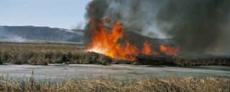
When a wildfire breaks out, firefighters hope to put it out as quickly as possible to protect lives and property. They’re most successful in containing a large fire if they’re near the fire when it starts. But, rural areas don’t have local fire stations every few miles like more developed areas do. Instead, fire managers continuously evaluate fire potential and move their response equipment and fire teams to regions that are most at risk.
As part of this process, fire managers rely on weather stations and drought conditions to assess daily fire risk. However, weather stations can be sparse in these more rural areas, and manually combining weather information takes considerable time and effort.
FIRE Tool Helps Monitor Risk
So, NCEI and the NASA DEVELOP National Program collaborated with the U.S. Army Corps of Engineers, the Bureau of Indian Affairs, and the South Dakota State Fire Meteorologist to create a Fire Risk Estimation or FIRE tool that automatically processes satellite and weather station data—including temperature, precipitation, relative humidity, and wind observations—into a single measurement of fire potential.
To create the FIRE tool, the team began with a list of indicators used to assess wildfire risk and the thresholds for each that would indicate higher risk. Provided by fire managers in South Dakota, these initial indicators and thresholds were based on meteorological conditions that accompanied several large, complex wildfires in the past decade.
| Variable | Threshold |
|---|---|
| Wind Speeds | Greater than 30 mph |
| Temperature | Greater than 40°F |
| Temperature Departure from Average | Greater than +10°F |
| Relative Humidity | Less than 30 percent |
| Drought Conditions | Palmer Drought Severity Index of −1 or lower |
| Days Since Precipitation | Wetting rain: Less than 0.1 inch in 2 days Soaking rain: Less than 1 inch in 5 days |
By comparing past weather and climate with historical fire records, the team identified conditions that resulted in high wildfire risk and the importance of each indicator that created those conditions. They then designed the FIRE tool to:
- Process data in near–real time
- Determine when indicator thresholds were met or exceeded
- Take into account how much each indicator would influence risk
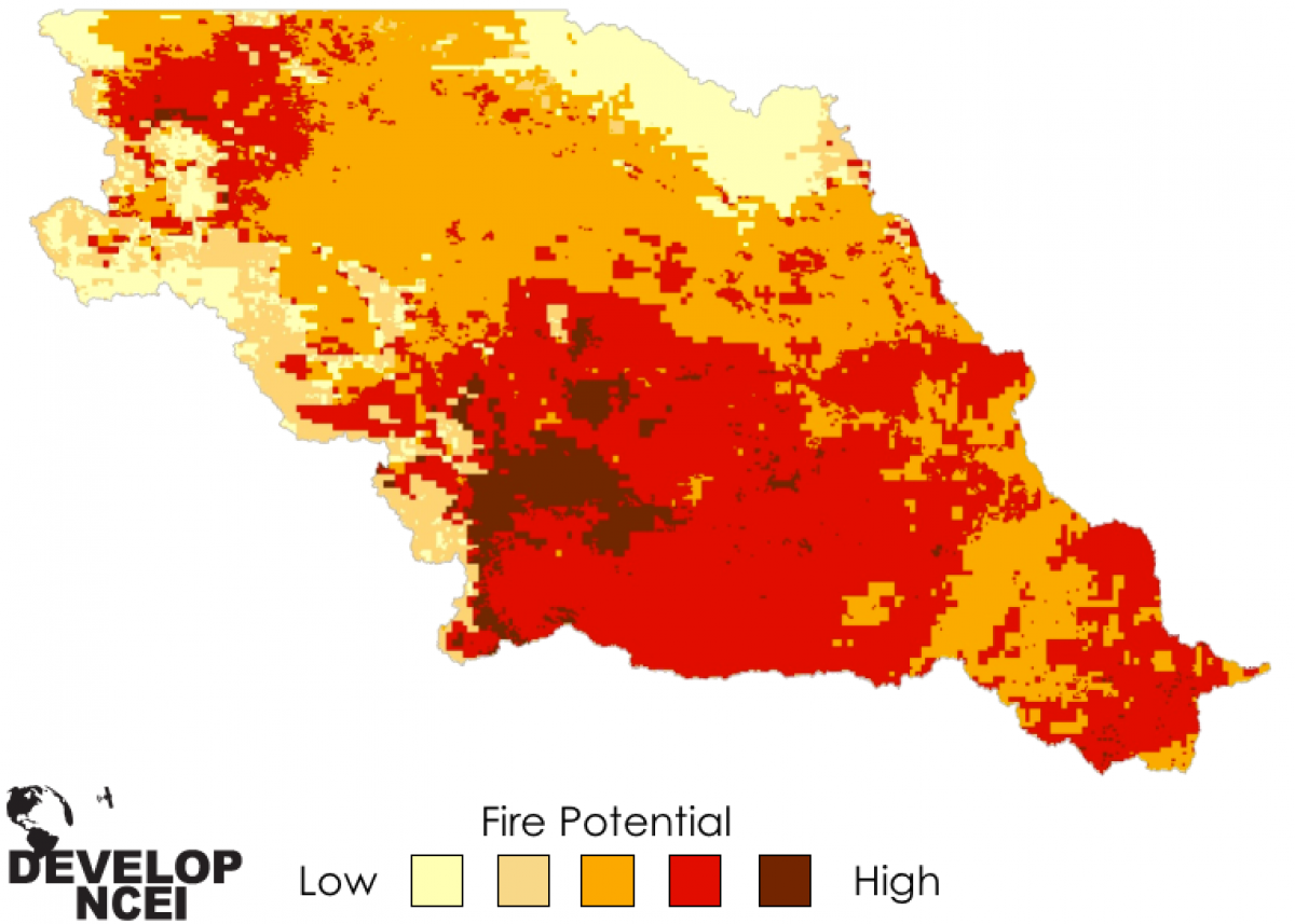
Once the FIRE tool calculates the overall risk potential, it plots it on a user-friendly interactive map in five categories, from low to high risk. This gives fire managers an overall view of risk in different locations, helping them quickly decide when and where to allocate their resources.
Although originally designed for the Great Plains, experts can readily expand the FIRE tool for other regions of the United States since it can be modified to fit certain climates and landscapes. Understanding when and where fires are most likely to occur and how they could spread helps fire response teams be better prepared when the next fire ignites.
About the NASA DEVELOP National Program
The NASA DEVELOP National Program aims to address public policy and environmental concerns across the country and around the world. It connects students and young professionals with NASA and NOAA scientists for 10-week projects that build capacity in communities while simultaneously training the next generation of environmental researchers.


