Pacific Basin
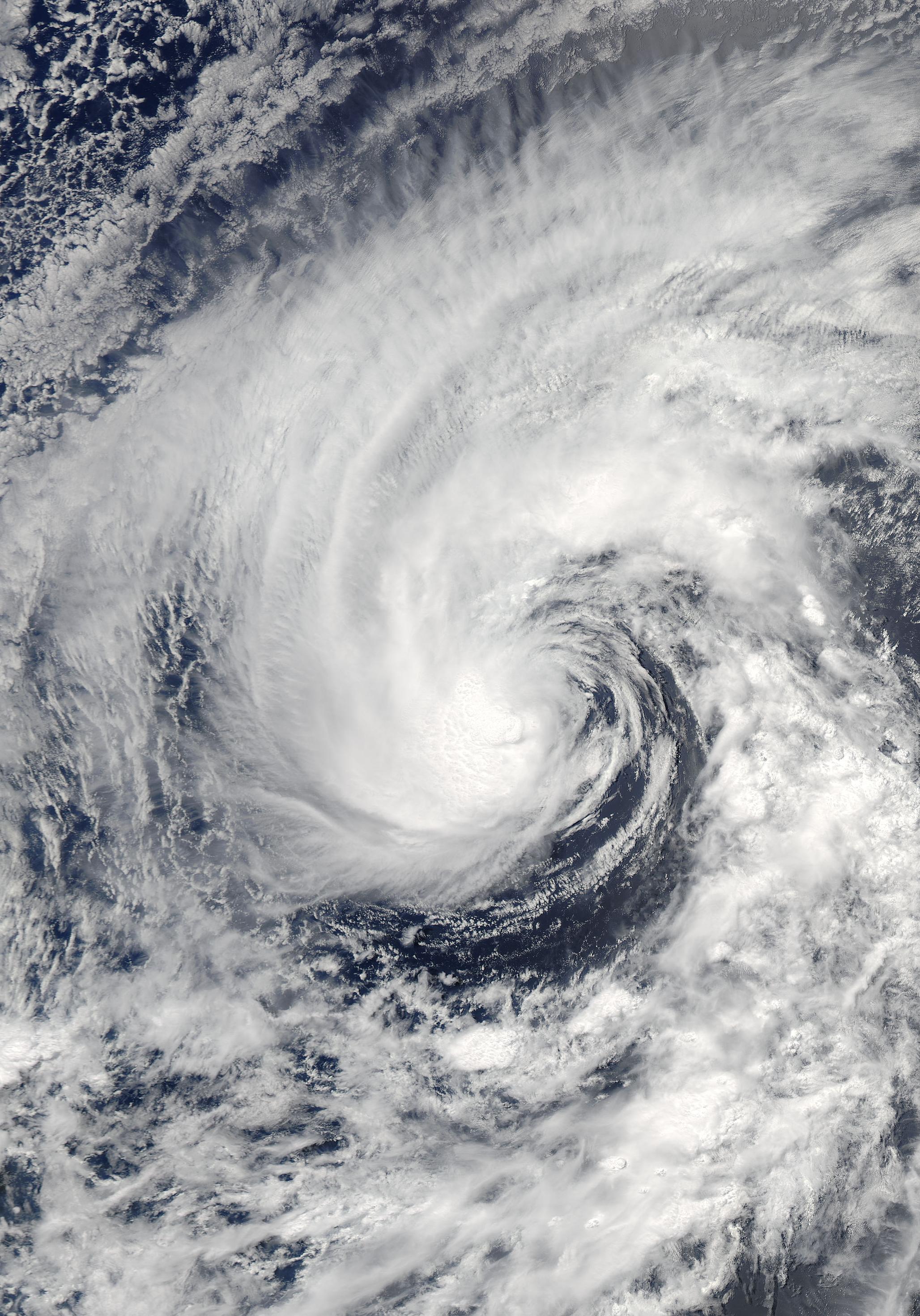 Tropical Storm Cristina Satellite Image |
 Tropical Storm Cristina Track  Saffir-Simpson Scale Color Legend |
An area of low pressure in the eastern Pacific developed into Tropical Depression Three-E on June 27. This depression strengthened into Tropical Storm Cristina on June 28 and remained relatively weak as it tracked westward. Christina weakened to a tropical depression on June 30 and dissipated on July 1. The strongest winds in Tropical Storm Cristina were 85 km/hr (43 knots or 50 mph) and its lowest pressure was 1000 mb. More information on Tropical Storm Cristina is available from the NOAA National Hurricane Center. | |
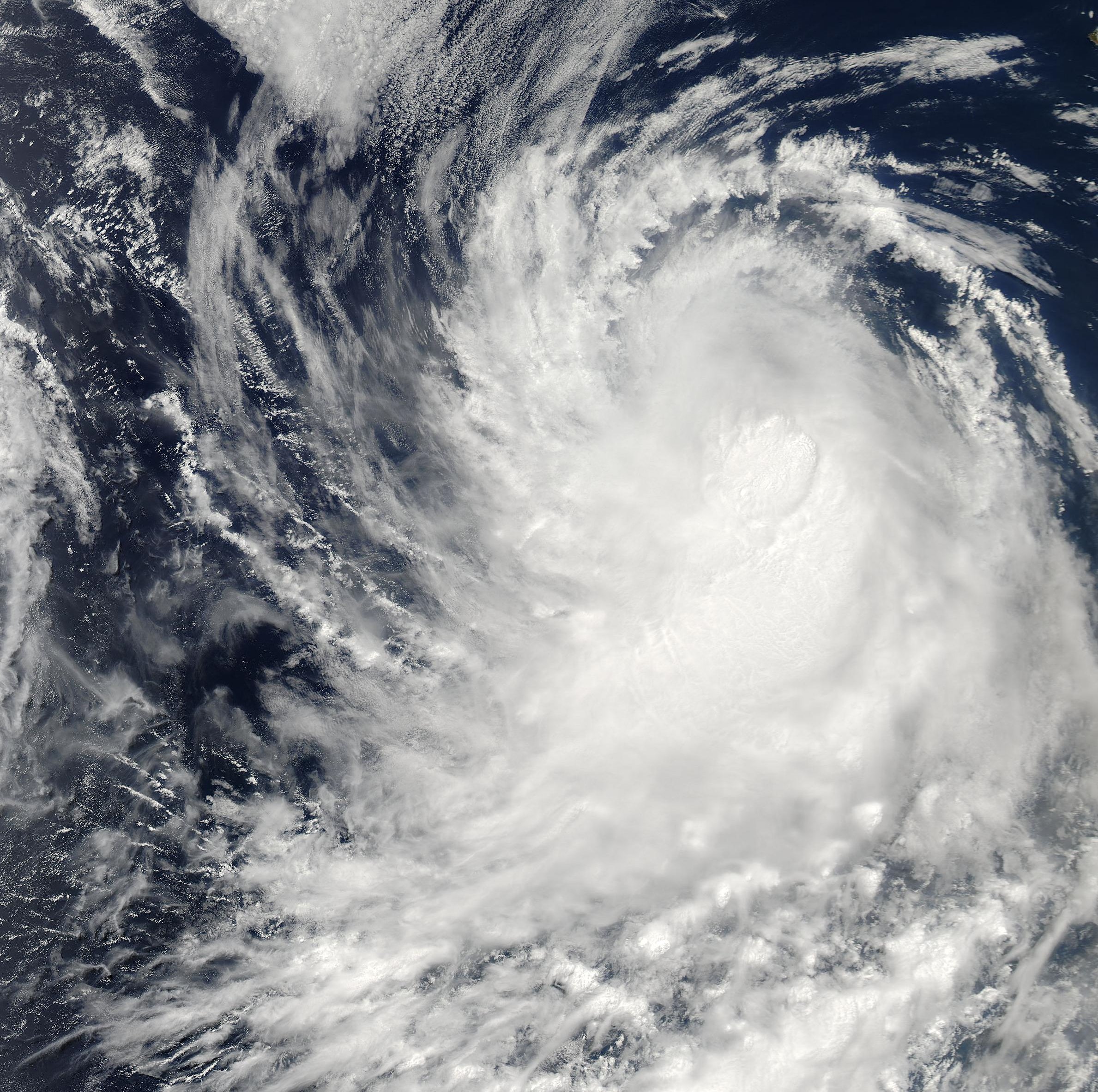 Hurricane Boris Satellite Image |
 Hurricane Boris Track Map Saffir-Simpson Scale Color Legend |
On June 27, a tropical depression formed over the warm waters south of Mexico's Baja Peninsula. Two days later, the depression strengthened into tropical storm Boris. This storm intensified to hurricane strength for a brief period on July 1, making Boris the first hurricane of the 2008 season in the eastern Pacific. The storm weakened as it moved over cooler waters and was downgraded to a tropical storm late on July 2. The system dissipated on July 4. The maximum sustained winds of Hurricane Boris were near 120 km/hr (65 knots or 75 mph) and the minimum pressure was 989 mb. More information may be found on NCDC's 2008 Northeast Pacific Tropical Cyclone statistics page, or at the NOAA National Hurricane Center. |
|