Regional Hydrodynamic Model Outputs of the NOAA Northwest Gulf of Mexico Operational Forecast System (NWGOFS)
CO-OPS NWGOFS
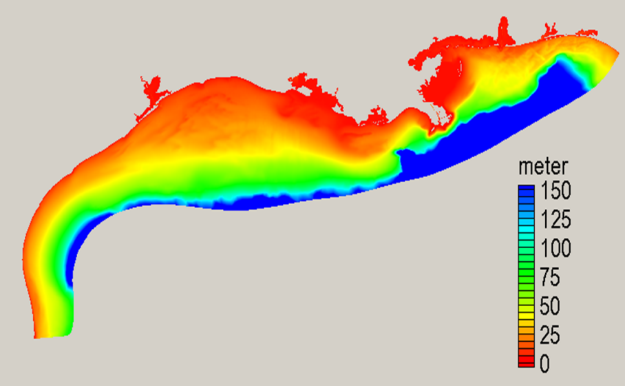 NGOFS bathymetry image (source: NOAA/NOS)
"Disclaimer: The Northern Gulf of Mexico Operational Forecast System (NGOFS) has been implemented by NOAA's National Ocean Service (NOS) to provide the maritime user community with short-term predictions of water levels, water currents, water temperatures and salinity of the northern Gulf of Mexico. NGOFS uses a numerical hydrodynamic model to generate the nowcast and forecast information; therefore, they should be considered as model-generated nowcast and forecast guidance . For more detailed information related to the OFS disclaimer, please visit at the Disclaimers web page (https://tidesandcurrents.noaa.gov/disclaimers.html)."
- Cite As: NOAA National Ocean Service; NOAA National Weather Service; NOAA Office of Oceanic and Atmospheric Research (2017): Regional Hydrodynamic Model Outputs of the NOAA Northwest Gulf of Mexico Operational Forecast System (NWGOFS). [indicate subset used]. NOAA National Centers for Environmental Information. https://doi.org/10.25921/fztr-mf31. Accessed [date].
- NCEI DSI 2014_01
- gov.noaa.ncdc:C01354
C01354
| Download Data |
|
| Distribution Formats |
|
| Ordering Instructions | Contact NCEI for other distribution options and instructions. |
| Distributor | NOAA National Centers for Environmental Information
ncei.info@noaa.gov |
| Dataset Point of Contact | Customer Engagement Branch
NOAA National Centers for Environmental Information 1-828-271-4800 ncei.orders@noaa.gov |
| Time Period | 2016-03-01 to 2021-03-22 (time interval: 6-minute) |
| Spatial Bounding Box Coordinates |
N: 31.0
S: 28.0
E: -92.0
W: -97.0
|
| Spatial Coverage Map | |
| General Documentation |
|
| Associated Resources |
|
| Publication Dates |
|
| Dataset Progress Status | Complete - production of the data has been completed |
| Data Update Frequency | Not planned |
| Purpose | This dataset is available to the public for a wide variety of uses including scientific research and analysis. |
| Dataset Citation |
|
| Cited Authors |
|
| Publishers | |
| Theme keywords | Global Change Master Directory (GCMD) Science Keywords
|
| Data Center keywords | Global Change Master Directory (GCMD) Data Center Keywords
|
| Platform keywords | Global Change Master Directory (GCMD) Platform Keywords
|
| Place keywords | Global Change Master Directory (GCMD) Location Keywords
|
| Use Constraints |
|
| Access Constraints |
|
| Fees |
|
| Lineage Statement | The model output was produced by the NOAA National Weather Service, the NOAA National Ocean Service, and the NOAA Office of Oceanic and Atmospheric Research, and it is archived by the NOAA National Centers for Environmental Information. |
| Processing Steps |
|
Last Modified: 2023-08-07
For questions about the information on this page, please email: ncei.info@noaa.gov