Deepwater Horizon (DWH) MC252 Data Integration, Visualization, Exploration, and Reporting (DIVER) Warehouse Data from the NOAA Office of Response and Restoration (OR&R)
Deepwater Horizon (DWH) DIVER Collections from NOAA OR&R
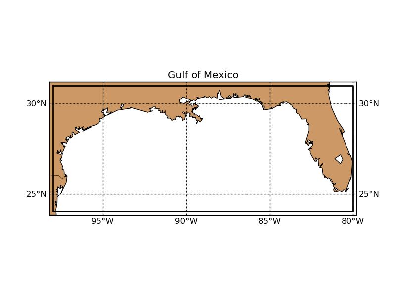 Area of the Deepwater Horizon incident.
These Deepwater Horizon (DWH) MC252 data collections contain environmental data gathered and utilized during the Response and Assessment phases of the Deepwater Horizon Incident in the Gulf of Mexico. The data originated from the NOAA Data Integration, Visualization, Exploration, and Reporting (DIVER) data warehouse maintained by NOAA's Office of Response and Restoration (OR&R). The collection files are comprised of environmental data to track the recovery of the Gulf of Mexico ecosystem after the Deepwater Horizon oil spill. These data were used as part of the Programmatic Damage Assessment and Restoration Plan (PDARP) developed through the Natural Resource Damage Assessment (NRDA) conducted as a result of the April 20, 2010 explosion and subsequent sinking of the DWH drilling platform in the Gulf of Mexico about 40 miles (60 km) southeast off the Louisiana coast.
- Cite as: NOAA Office of Response and Restoration (2019): Deepwater Horizon (DWH) MC252 Data Integration, Visualization, Exploration, and Reporting (DIVER) Warehouse Data from the NOAA Office of Response and Restoration (OR&R). [indicate subset used]. NOAA National Centers for Environmental Information. NCEI DSI 2017_01 [access date].
- NCEI DSI 2017_01
- gov.noaa.ncdc:C02070
C02070
| Other Access |
|
| Distribution Formats |
|
| Ordering Instructions | Contact NCEI for other distribution options and instructions. |
| Distributor | NOAA National Centers for Environmental Information
ncei.info@noaa.gov |
| Dataset Point of Contact | Customer Engagement Branch
NOAA National Centers for Environmental Information 1-828-271-4800 ncei.orders@noaa.gov |
| Time Period | 2003-06-18 to 2016-03-31 |
| Spatial Reference System | urn:ogc:def:crs:EPSG::4269urn:ogc:def:ellipsoid:EPSG::7019 |
| Spatial Bounding Box Coordinates |
N: 31.0
S: 24.0
E: -80.0
W: -98.0
|
| Spatial Coverage Map | |
| General Documentation |
|
| Associated Resources |
|
| Publication Dates |
|
| Data Presentation Form | Digital document - digital representation of a primarily textual item (can contain illustrations also)
|
| Dataset Progress Status | Complete - production of the data has been completed |
| Data Update Frequency | Not planned |
| Purpose | Data collected in response to the Deepwater Horizon event. |
| Dataset Citation |
|
| Cited Authors |
|
| Originators |
|
| Publishers |
|
| Theme keywords | Global Change Master Directory (GCMD) Science Keywords
|
| Data Center keywords | Global Change Master Directory (GCMD) Data Center Keywords
|
| Place keywords | Global Change Master Directory (GCMD) Location Keywords
|
| Project keywords | NODC PROJECT NAMES THESAURUS
Submitter Funding
|
| Use Constraints |
|
| Access Constraints |
|
| Fees |
|
Last Modified: 2023-06-23
For questions about the information on this page, please email: ncei.info@noaa.gov