CO2 Moorings and Time Series Project
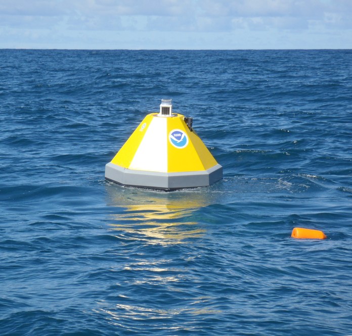
Mooring Kaneohe (Buoy Position: Kaneohe Offshore Observatory 21.48°N, 157.78°W)
| Data Set Name | Graphics | Platform | Place | Deployments | Carbon-related data Contributor | Variables in Data Set | Data | Project Link |
|---|---|---|---|---|---|---|---|---|
| Kaneohe_158W_21N_Sep2011_Nov2011 Kaneohe_158W_21N_Nov2012_Mar2013 Kaneohe_158W_21N_Mar2013_Nov2013 Kaneohe_158W_21N_May2014_May2015 Kaneohe_158W_21N_Nov2015_Oct2016 Kaneohe_158W_21N_Apr2017_Jun2018 Kaneohe_158W_21N_Nov2019_Oct2020 |
See real time data graphics for this mooring | Kaneohe_158W_21N | Kaneohe Bay, Oahu, Hawaii | Sep2011_Nov2011 Nov2012_Mar2013 Mar2013_Nov2013 May2014_May2015 Nov2015_Oct2016 Apr2017_Jun2018 Nov2019_Oct2020 |
Adrienne Sutton, Sylvia Musielewicz/ NOAA/PMEL | SST, SSS, Atm. press, xCO2 water, xCO2 air, fCO2 water, fCO2 air, pH on total scale |
Data files Metadata |
PMEL Buoys and Autonomous Systems |
Dissolved inorganic carbon, total alkalinity, water temperature and salinity data from the coral reef MAPCO2 buoys sites between 2016 and 2023.
| Data Set Name | Platform | Place | Deployments | Carbon-related data Contributor | Variables in Data Set | Data | Project Link |
|---|---|---|---|---|---|---|---|
| MAPCO2 buoys sites data | MAPCO2 buoys sites | Pacific Ocean | 2016-2023 | Lucie Knor, Melissa Meléndez, Christopher L. Sabine, Eric H. De Carlo / University of Hawai'i at Mānoa | SST, SSS, DIC, ALk |
Data files Metadata |
PMEL Buoys and Autonomous Systems |
Last modified: 2024-08-21T19:22:49Z