
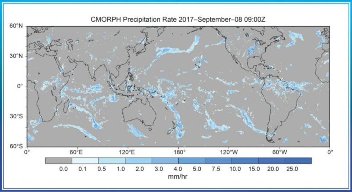
The Satellite Precipitation - CMORPH Climate Data Record (CDR) consists of satellite precipitation estimates that have been bias corrected and reprocessed using the the Climate Prediction Center (CPC) Morphing Technique (MORPH) to form a global, high resolution precipitation analysis. Data is reprocessed on a global grid with 8km-by-8km spatial resolution. Temporal resolution is 30 minutes over a 20 year period of record (January 1998–present). The output precipitation fields are produced on three different time-space resolutions to accommodate a variety of user requirements.
To help the project receive continued support, updates, and improvement, tell us how you use Precipitation - CMORPH CDR data by completing our optional User Registration Form.