
Warmth Persisted Across the West in January While Wintry Weather Swept the Plains, South and East

Key Points:
- A series of Arctic air masses brought bitterly cold temperatures as far as the Deep South and Florida, accompanied by significant snow and ice impacts.
-
Seven western states set record-warm temperatures for the beginning of winter (December–January).

Map of the U.S. notable weather and climate events in January 2026.
Other Highlights:
Temperature
The average temperature for the contiguous U.S. (CONUS) in January was 33.2°F, 3.1°F above the 20th-century average, ranking in the warmest third of the 132-year record.

Temperatures were much above average across a large portion of the western third of the CONUS. Oregon, California, Utah and Arizona each had one of their six warmest starts to the year. Along with Washington, Nevada and New Mexico, they each recorded their warmest December–January period on record. In contrast, much of the eastern half of the country saw near-average January temperatures, with below-average conditions across portions of the Ohio Valley, Great Lakes and Mid-Atlantic.
Across Alaska, January’s average temperature was 0.7°F, 1.5°F below the 1925–2000 average, ranking in the middle third of the 102-year record. December’s cold snap persisted through the first half of January before later warmth tempered monthly averages. As a result, above-average January temperatures were observed across parts of southeastern Alaska and the North Slope, while below-average temperatures occurred across much of the Southwest and parts of the Interior.
Hawai’i had an average temperature of 64.2°F, 0.8°F above the 1991–2020 average, ranking in the warmest third of the 36-year record.
Precipitation
The average precipitation for the CONUS in January was 1.53 inches, 0.78 inch below the 20th-century average, ranking 11th-driest in the 132-year record. Precipitation was below average across much of the Northwest, Rockies and northern Plains, with Oregon, Montana and Wyoming each experiencing their driest January since 2001. Below-average precipitation also occurred across a broad swath from the southeastern Plains to the Northeast and across much of the Southeast.

In Alaska, January precipitation ranked in the wettest third of the 102-year record. The North Slope and much of interior, southern and southeastern Alaska received above-average precipitation, while parts of western Alaska, including the Aleutians, recorded below-average totals, with some locations seeing a record-dry January.
In Hawai’i, January precipitation averaged 5.06 inches, just 0.05 inch below the 1991–2020 average, ranking in the middle third of the 36-year record.
Drought
According to the February 3 U.S. Drought Monitor report, about 44.5% of the CONUS was in drought, up about 1.7% from the end of December. Drought conditions persisted across portions of the Northwest and Rockies, while some areas of improvement were observed across parts of the Southwest. Drought worsened across parts of the Plains and middle Mississippi Valley, while parts of the South and upper Midwest saw some improvement. The Southeast through the Mid-Atlantic saw drought expand and intensify, and drought persisted in the far Northeast and Hawai’i.
Monthly Outlook
Above-average temperatures are favored across parts of the West in February, while portions of the eastern U.S. are likely to be cooler than average. Parts of the West are leaning towards below-average precipitation, while portions of the northern tier favor above-average precipitation. Above-average temperatures and precipitation are favored across southern Alaska. Visit the Climate Prediction Center’s Official 30-Day Forecasts for more details.
Existing drought conditions across the CONUS are largely expected to persist through February, with additional development likely in parts of the southern Plains, Gulf Coast and Florida. Some drought improvement or removal is anticipated across small portions of the South, Carolinas and Mid-Atlantic, as well as parts of Hawaiʻi and the U.S. Virgin Islands. Visit the U.S. Monthly Drought Outlook website for more details.
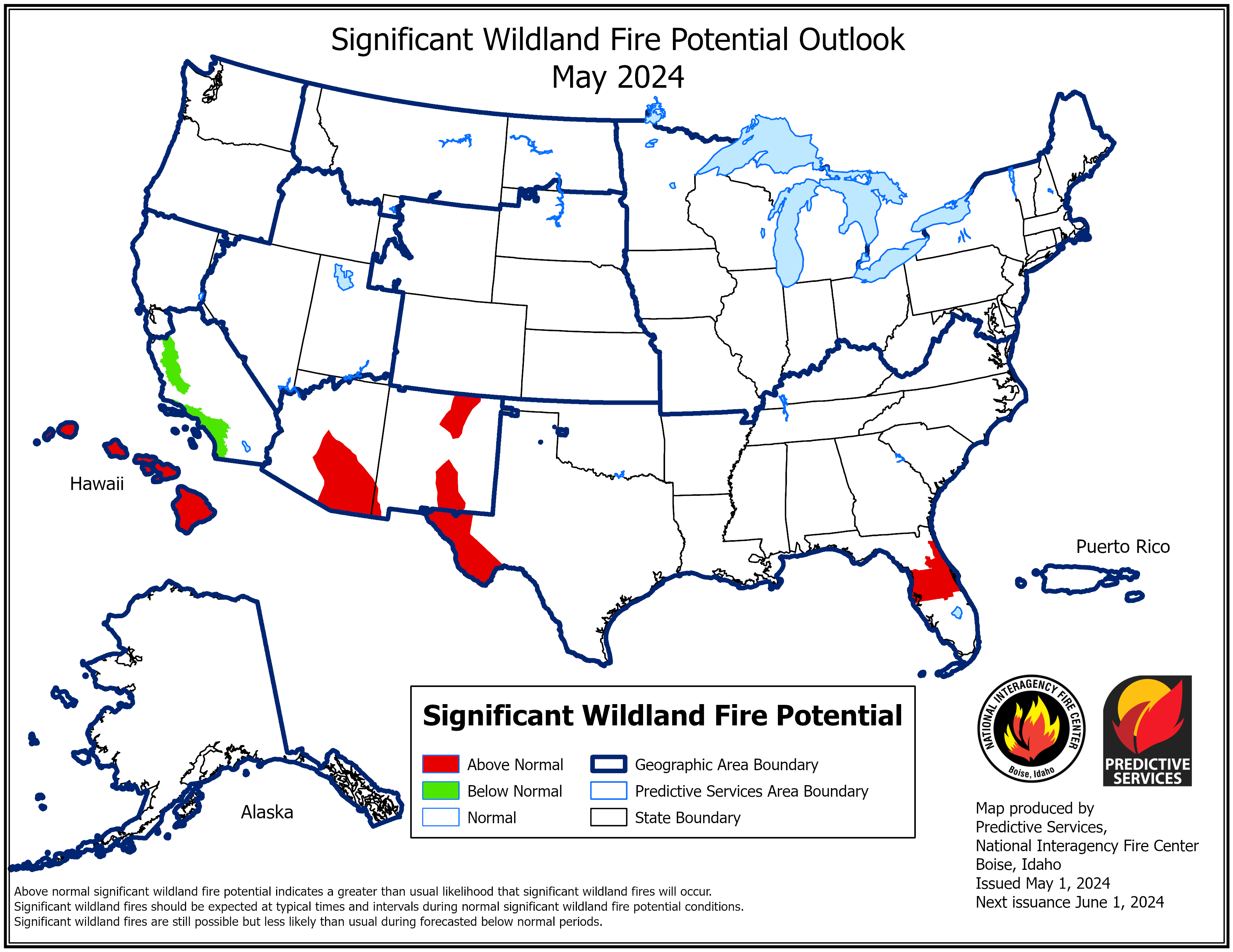
Significant wildland fire potential for February is above normal across much of the southern Plains and Southeast, while it is below normal across Kentucky and far western Virginia. For additional information on wildland fire potential, visit the National Interagency Fire Center’s One-Month Wildland Fire Outlook.
For more detailed climate information, check out our comprehensive January 2026 U.S. Climate Report scheduled for release on February 12, 2026. For additional information on the statistics provided here, visit the Climate at a Glance and National Maps webpages.


