
The bathymetry data archived at NCEI (and the co-located IHO DCDB) are used in contribute to numerous regional, national, and international mapping initiatives.
Integrated Ocean and Coastal Mapping
NOAA’s Integrated Ocean and Coastal Mapping (IOCM) team embraces a cooperative approach to integrated mapping. To achieve U.S. national mapping goals, IOCM is working toward the strategic plan: National Strategy for Mapping, Exploring, and Characterizing the United States Exclusive Economic Zone (NOMEC). This plan coordinates interagency efforts and resources to map, explore, and characterize the U.S. EEZ’s deep waters by the year 2030 and nearshore water by 2040.
In addition to NOMEC, the IOCM team engages in regional mapping campaigns like the Expanding Pacific Research and Exploration of Submerged Systems (EXPRESS) campaign, and Seascape Alaska. EXPRESS is a multi-year, multi-institution cooperative research campaign in deep sea areas of California, Oregon, and Washington, including the continental shelf and slope. Seascape Alaska is a regional campaign collaborating with federal, tribal, state, and non-governmental partners to support the NOMEC strategy–working toward the common goal to fully map U.S. waters off of Alaska.
U.S. Extended Continental Shelf (ECS)
The mission of the U.S. Extended Continental Shelf (ECS) Project is to establish the full extent of the U.S. continental shelf, consistent with international law. Data collected for the project can be found on the ECS Data page.
GEBCO and Seabed 2030
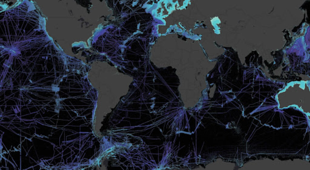
NCEI and the co-located IHO Data Center for Digital Bathymetry serve as the long-term archive for all raw bathymetric data compiled by the General Bathymetric Chart of the Oceans (GEBCO) Ocean Mapping Program and the Nippon Foundation-GEBCO Seabed 2030 project. Seabed 2030 is a global initiative that aspires to create a complete global ocean map by 2030.
Lakebed 2030
Lakebed 2030 is an initiative led by the Great Lakes Observing System and others that is dedicated to bringing together new and existing bathymetric data to create a new map of the Great Lakes. Despite the far-reaching social, environmental, and economic significance of the Great Lakes, a thorough understanding of the underwater environment is lacking. Only 15% of the Great Lakes has been mapped at high density. Products developed under Lakebed 2030 will be discoverable and accessible to all in conjunction with NCEI.
IHO Crowdsourced Bathymetry (CSB) Initiative
In 2014, the International Hydrographic Organization (IHO) recognized that traditional survey vessels alone could not be relied upon to solve data deficiency issues and agreed there was a need to encourage and support all mariners in an effort to “map the gaps.” An IHO CSB initiative was established to support and enable mariners to collect CSB and to submit those data to the IHO DCDB for archive and access. This approach leverages underway x, y, z, t data already being collected on vessels with common commercial echo sounders and Global Navigation Satellite System receiv