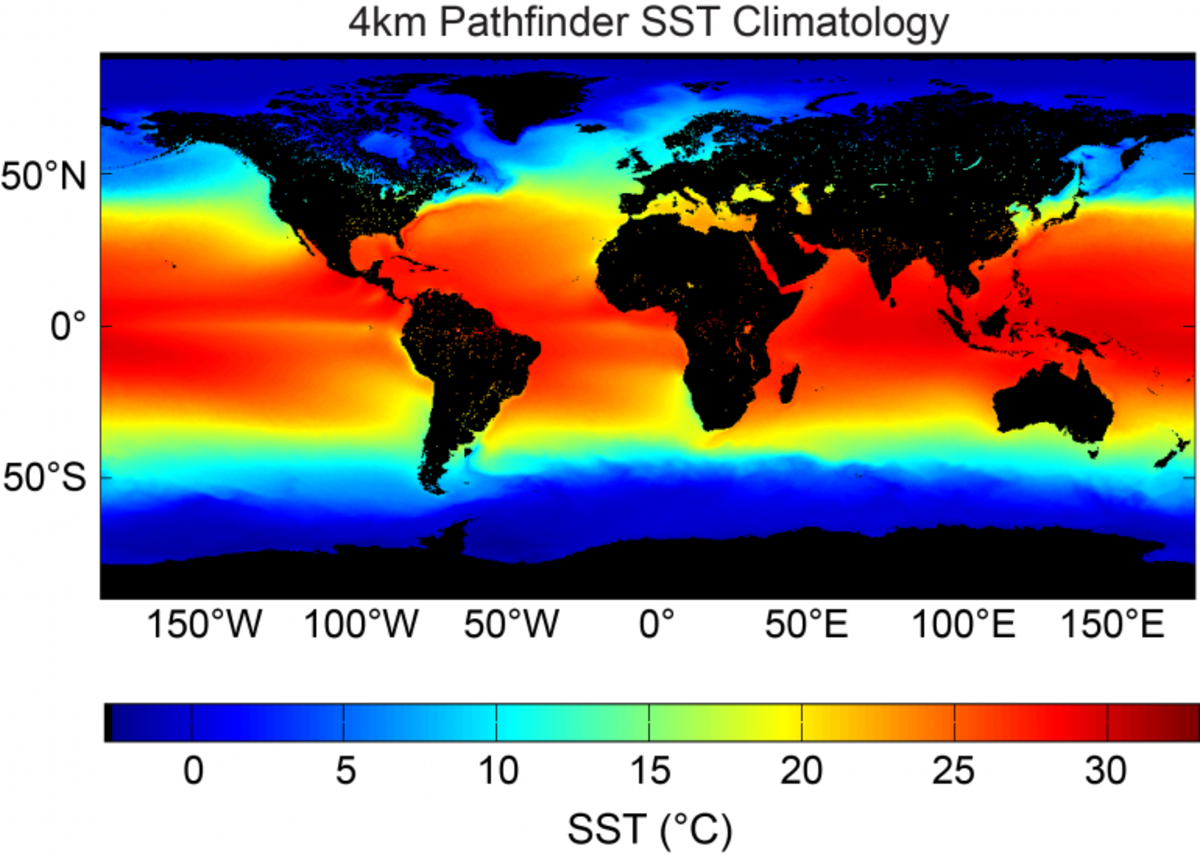
The Sea Surface Temperature (SST) - Pathfinder Climate Data Record (CDR) is a collection of global, twice-daily (Day and Night), 4km sea surface temperature (SST) data produced by NCEI. Level 3C processed data (L3C) is generated with measurements combined from a single instrument into a space-time grid. The dataset was computed with data from the Advanced Very High Resolution Radiometer (AVHRR) instruments on board NOAA's polar orbiting satellite series using a modern system based on SeaDAS Version 6.4 and spans from 1981 to present.
To help the project receive continued support, updates, and improvement, tell us how you use Pathfinder Sea Surface Temperature CDR data by completing our optional User Registration Form.