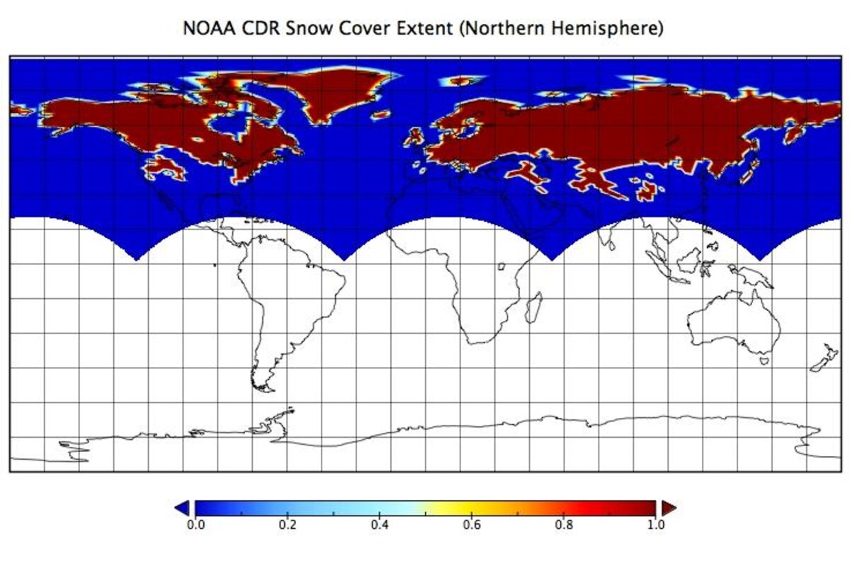
The Snow Cover Extent (SCE) Climate Data Record (CDR) combines weekly (1966–May 1999) and daily (June 1999–Present) NOAA visible satellite-based SCE analysis to form a continuous record of snow coverage for the entire Northern Hemisphere. The dataset spans from 1966–present, making it the longest satellite based CDR for any environmental variable. This CDR informs climate studies, climate change monitoring, and climate model validation.
To help the project receive continued support, updates, and improvement, tell us how you use Snow Cover Extent CDR data by completing our optional User Registration Form.