
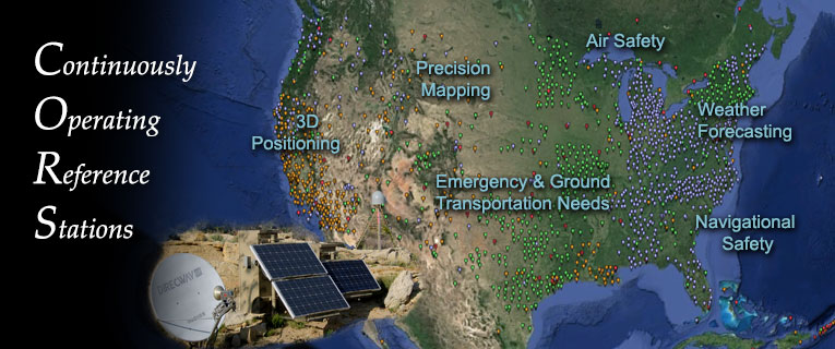
The National Geodetic Survey (NGS), an office of NOAA's National Ocean Service (NOS), coordinates a network of Continuously Operating Reference Stations (CORS) that provide Global Navigation Satellite System (GNSS) data in support of a broad spectrum of engineering, scientific, and safety applications in the U.S. and its territories.
Through a submission agreement with NGS, NCEI archives the CORS dataset per the NOAA/NOS Records Disposition Schedule, section 1602-12.
CLASS
NCEI provides direct and automated access to CORS at-sampling-rate archive through the NOAA Comprehensive Large Array-Data Stewardship System (CLASS). Email ncei.ngs.cors@noaa.gov for more information.


")