
The Rapid Refresh (RAP) numerical weather model replaced the Rapid Update Cycle (RUC) on May 1, 2012. The National Centers for Environmental Prediction (NCEP) runs two different versions of RAP. The first generates weather data on a 13-km (8-mile) resolution horizontal grid and the second, the High-Resolution Rapid Refresh (HRRR), generates data down to a 3-km (2-mile) resolution grid for smaller regions of interest. RAP forecasts are generated every hour with forecast lengths up to 18 hours.
Access Methods
NCEI model data services provide access to RAP forecast and analysis data. HRRR data are available through the HRRR home page. The NOAA Big Data Program also provides access to HRRR data in a trailing 30-day window in the AWS Open Data Registry for HRRR.
RAP Analysis
Specifications
- Period of Record: 01 May 2012–Present
- Model Cycle: 24/day: 00, 01, 02,... 23UTC
- Output Timestep: +000 and +001 hours
Data and Files
| Grid/Scale | Files | Data Access Links |
|---|---|---|
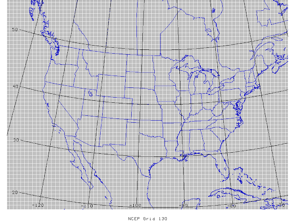
| 130 (13km) | ||
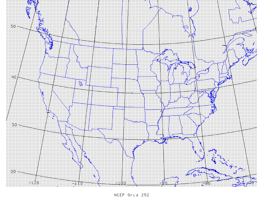
| 252 (20km) |
RUC Analysis
Specifications
- Period of Record: 01Jan2005–01May2012
- Model Cycle: 24/day: 00, 01, 02,... 23UTC
- Output Timestep: +000 and +001 hours
Data and Files
| Grid/Scale | Files | Data Access Links |
|---|---|---|
| 130 (13km) | ||
| 252 (20km) |
RAP Forecasts
Specifications
- Period of Record: 01 May 2012–Present (approx. one year to present online)
- Model Cycle: 24/day: 00, 01, 02,... 23UTC
- Output Timestep: Hourly, +000 to +018 hours
| Grid/Scale | Files | Data Access Links |
|---|---|---|
| 130 (13km) | ||
| 252 (20km) |
RUC Forecasts
Specifications
Model Cycle: 24/day: 00, 01, 02,... 23UTC
| Grid/Scale | Period of Record | Files | Output Timestep | Data Access Links |
|---|---|---|---|
| 130 (13km) | 24/day: 00, 01, 02,... 23UTC | Hourly, +000 to +012 hours | AIRS | |
| 252 (20km) | 24/day: 00, 01, 02,... 23UTC | Hourly, +000 to +012 hours | AIRS | |
| 252 (20km) | 01Jan2005–21Feb2008 (GRIB1) | Hourly, +000 to +012 hours | AIRS | |
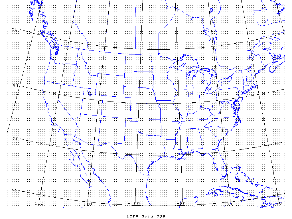
| 236 (40km) | 01May2002–05Jul2005 | Hourly, +000 to +012 hours | HTTPS | |
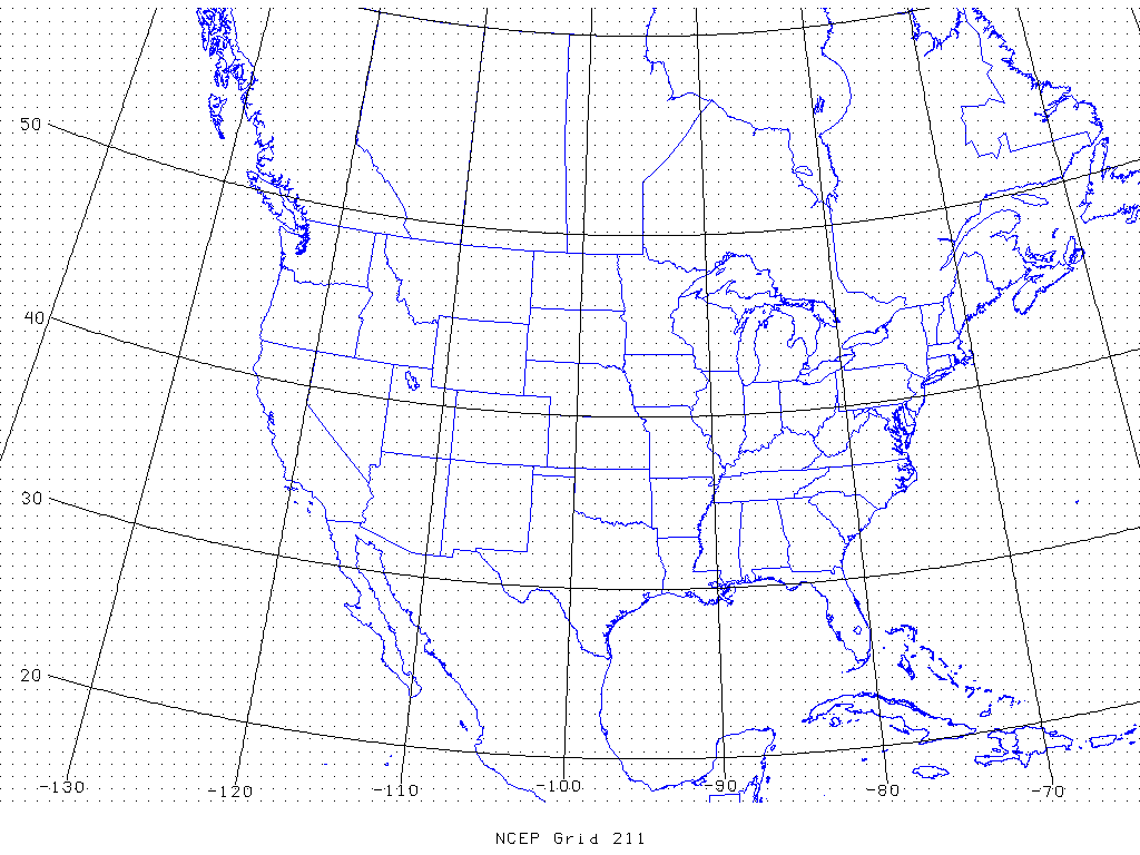
| 211 (81km) | 01May2002–05Jul2005 | 3-hourly, +000 to +012 hours | HTT |


