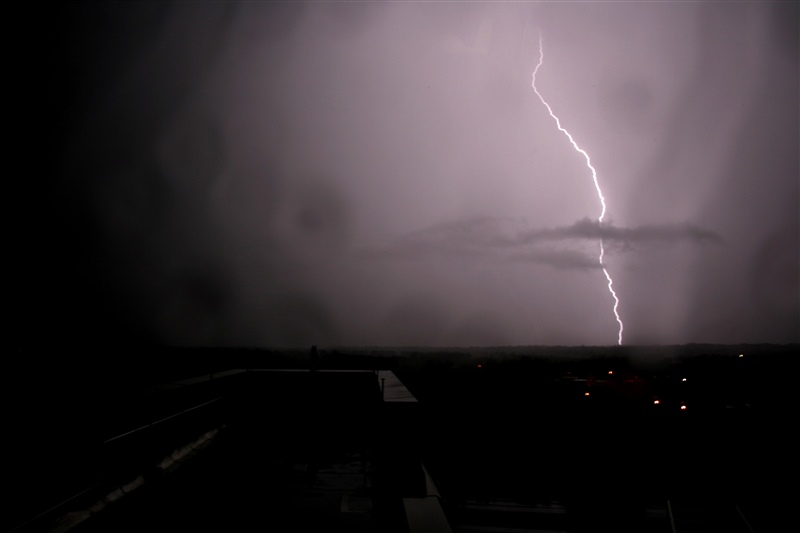
NCEI provides access to lightning flash summaries by county and state, gridded lightning frequency products, and other data derived from internal products. Data is available in standard formats through direct download, and web services that allow spatial and temporal subsetting. The National Lightning Detection Network (NLDN) dataset is available for the continental United States.

Public Products
Severe Weather Database Inventory (SWDI) Lightning Tile Summaries
This product summarizes the number of cloud-to-ground lightning flashes for each day in 0.10-degree tiles. These tiles are part of the NCEI Severe Weather Data Inventory and can be accessed using the SWDI GIS-based search tool or RESTful web services.
Lightning Strike Data
Certified lightning data reports with flash/strike data by latitude and longitude are available from the Vaisala corporation.
Vaisala Lightning Verification Product
Damage and Casualty Reports
Damage and casualty reports are available from the NCEI Storm Events Database.
The following products are only available to NOAA employees and contractors (with VPN access) through a contract with Vaisala.
County and State Summaries
The number of cloud-to-ground lightning flashes is calculated for each day for all U.S. counties and states. These summary reports are generated in the NCEI Severe Weather Data Inventory (SWDI), and contain counts of severe storm attributes detected by algorithms in the NEXRAD Weather Radar network. The summary reports are available in CSV text format.
Note: Google and Mozilla recently deprecated support for FTP server access on Chrome and Firefox. Review the documentation to learn about FTP access options.
FTP Documentation
GOES Geostationary Lightning Mapper (GLM)
The GLM instrument is the first operational lightning mapper flown in geostationary orbit on the GOES-R Series satellites. It collects information such as the frequency, location and extent of lightning discharges to identify intensifying thunderstorms and tropical cyclones.


