Looking Back at the Early Days of Arctic Exploration

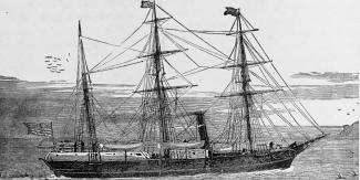
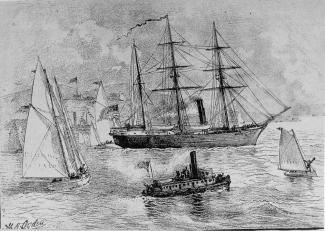
In the late 19th century, explorations of the Arctic captivated Western society. At the time, the North Pole was unknown territory and many nations wanted to be the first to reach the region to confirm what it was like–was it frozen land or open ocean? The USS Jeannette set out to explore this uncharted territory on July 8, 1879 from San Francisco with a crew of 32 men led by Captain George Washington De Long.
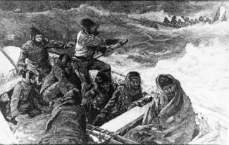
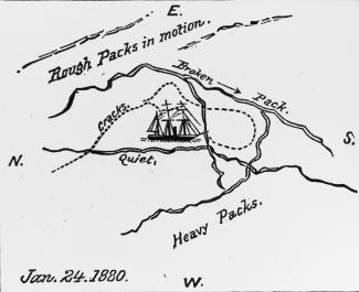
On June 12, 1881, two years into the voyage, the Jeannette encountered unbreakable sea ice that broke its hull. All 33 men abandoned ship on small boats with sleds and slides and became stranded in the Arctic north of Siberia.
The crew made their way through Alaska back to the contiguous U.S., enduring freezing temperatures, harsh winds, and risk of deadly encounters with polar bears all while starving due to dwindling supplies. The majority of them perished in the brutal conditions.
The expedition did not accomplish its goal of returning home safely with the Jeanette, but the scientific information they gathered was preserved. When the crew abandoned the ship, they were able to save log books which contained geological, oceanographic, meteorological, and ecological data recorded during the two year journey. Survivors brought the books along with them. This information is kept in data archival storage and is used for studies today. As a notable example, the crew recorded sea ice thickness measurements that can still be used for research. Detailed data from the late 19th century from the Arctic is quite scarce, and therefore valuable to assessing the Earth system around that time.
NOAA’s National Snow and Ice Data Center has data rescue programs. The program archives the Jeannette’s sea ice thickness data, making them available to the public more than a century after that ill-fated voyage as part of the “On-Ice Arctic Sea Ice Thickness Measurements by Auger, Core, and Electromagnetic Induction, from the Late 1800s Onward” collection. The center's sea ice thickness archived data comes from about 50 historical expeditions that supplement data collected from modern expeditions and satellites.
Here at NCEI, we work with the National Snow and Ice Data Center and help fund Arctic products as part of our Arctic Assessment Area. The products include the Sea Ice Concentration (SIC) Climate Data Record (CDR), Sea Ice Index, Multisensor Analyzed Sea Ice Extent, Snow Data Assimilation System, Interactive Multisensor Snow Daily Northern Hemisphere Snow and Ice Analysis. With the Sea Ice Index product, it is used for the NOAA Arctic Report Card assessments. NCEI also generates an Arctic Regional Climatology based on NCEI’s World Ocean Database.


